Who we are
At AxonaSpatial, we help renewable energy developers find the right land, navigate permitting, and bring projects to life faster. We combine GIS, drone technology, and AI to deliver actionable insights that reduce risk and accelerate decision-making.
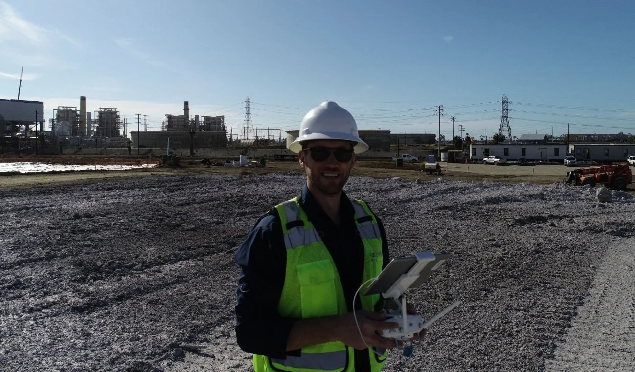
Founded by Robert Fritz, GISP a GIS specialist and certified drone pilot with over a decade of experience in renewable energy and spatial analysis, our mission is simple: make site selection, permitting, and project development smarter and faster.
We understand that every site is unique. That’s why we focus on data-driven analysis, real-world feasibility, and clear deliverables—from interactive maps to aerial imagery and detailed reports. Our goal is to help developers make confident decisions at every stage of a project.
When I’m not working with GIS and drones, I’m exploring innovative ways to apply spatial science to real-world problems—because the future of renewable energy depends on smart, efficient, and responsible development.